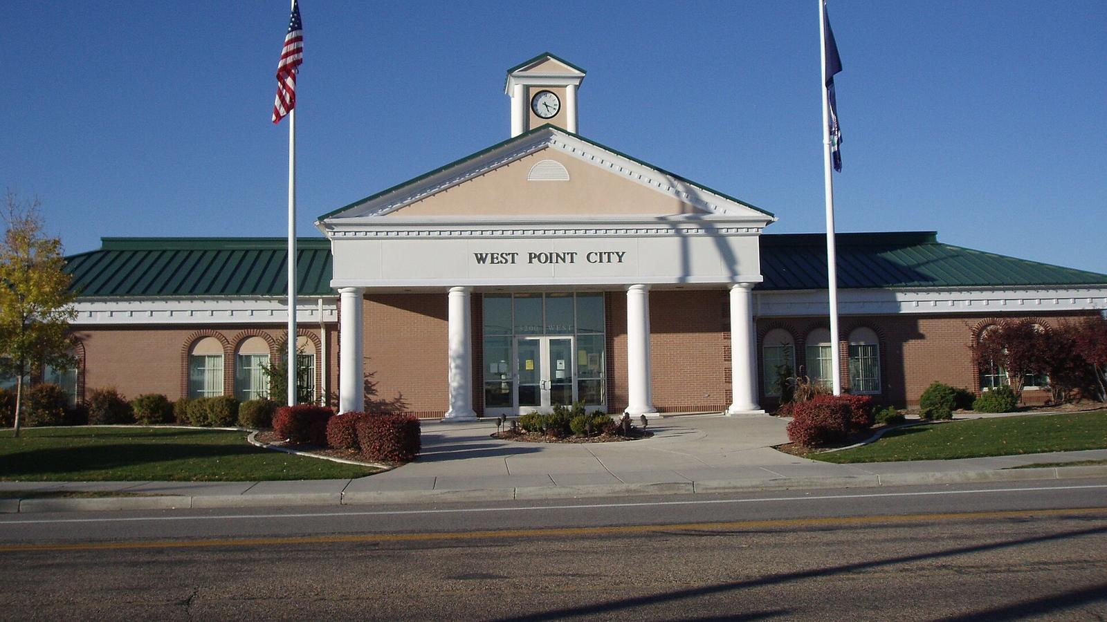
West Point sits on the eastern shore of the Great Salt Lake. The wetlands on its west edge are an important stop for migrating birds.
Clinton and Hooper are to the north, Clearfield to the east and Syracuse to the south.
Local spots and parks
A few places around West Point worth knowing about.
Loy F. Blake Park
At 3500 W 550 N, with an orienteering course.
East Park and Bingham Park
The city's other two parks.
Great Salt Lake wetlands
Bird watching along the lake on the city's west side.
Getting around
The West Davis Corridor (SR-177) is nearby, and I-15 and the Clearfield FrontRunner station are a short drive east.
Place details come from Wikipedia, city and county websites, Utah State Parks and the Utah Division of Wildlife Resources. Hours, park features and amenities change, so check with the city or park before you go.
See homes in West Point
Browse current listings in West Point. When something catches your eye, send it my way and we'll go take a look.
More Davis County cities
Or head back to the Davis County overview.
 Farmington
 Kaysville
 Layton
 Bountiful
 Centerville
 Syracuse
 Clearfield
 North Salt Lake
 Fruit Heights
Curious what your home is worth?
Tell me a little about your place and I'll put together a free home value for you. No pressure, just good information.
Get your free home valueOr call or text me at 435-244-9022.
Photo credits Photos are cropped and resized from the originals.
- West Point: “West Point Utah Municipal Center” by Ntsimp, Wikimedia Commons, Public domain